
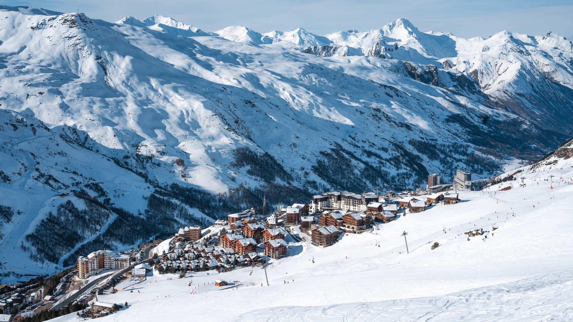
With 600 kilometers of slopes, it’s better to know where you’re going. This winter, the 3 Valleys They have launched Itinemap, a new tool capable of proposing a route based on the skier's level, the slopes open, and the lifts available in real time.
A wrong turn, a track more technical than expected, a climb closed at the wrong time… On a ski resort the size of the 3 Valleys, Sometimes a few missed signs are enough to turn a simple connection into a detour lasting half an hour.
This winter, the resort wants to limit this kind of mishap with Itinemap, a new feature integrated into the Les 3 Vallées app.
The principle is reminiscent of a classic GPS: you choose your destination, the app calculates the route. Only here, the road is a ski slope.
The skier's level is taken into account
Altitude restaurant, meeting with friends, another area of the resort… Itinemap offers a route taking into account the level declared by the user.
A skier who is not comfortable on the red slopes is therefore not suited to receive the same course as an experienced rider capable of completing the most technical sections. The tool also relies on the current state of the terrain.

If a trail or a lift closes during the day, the route must be recalculated automatically to avoid sending skiers to a connection that has become inaccessible.
A detail that quickly becomes important in a complex area as vast as the 3 Vallées, where a change of sector can mean several lifts and several kilometers.
Not just for newcomers
The tool obviously targets holidaymakers who are discovering the area for the first time. Reading a 600-kilometer-long plan of ski runs is not an easy task when you’re also trying to keep an eye on the children, find a restaurant, or simply figure out which side of the mountain you’ve just landed on.
But Méribel also highlights the system’s usefulness for regular visitors. Even with knowledge of the area, a temporary closure or a change in route can require a complete revision of the planned itinerary.
Itinemap will be accessible directly in the «Plan» section of the Les 3 Vallées app. The operation is intended to be deliberately similar to a tool that everyone already knows: Google Maps.
With one difference. Here, missing the right exit doesn’t mean turning around at the next roundabout. It may mean taking two more cable cars.